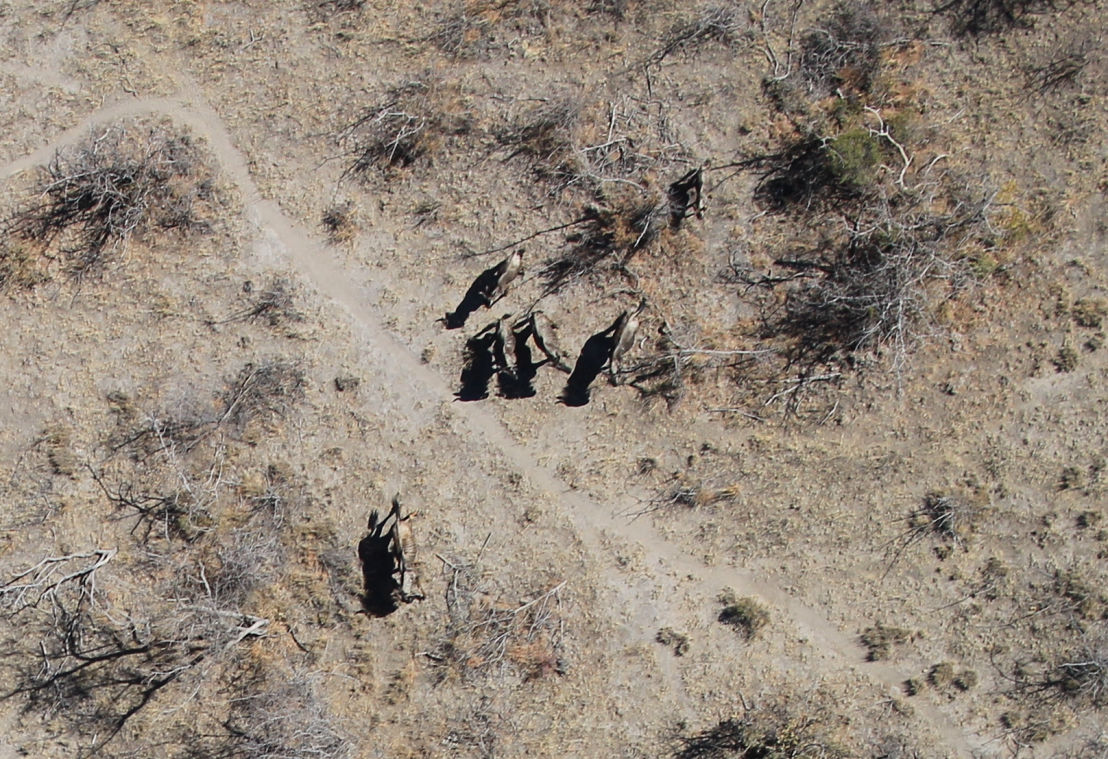
Accurate “Undisturbed” Game Counts
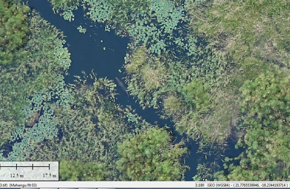
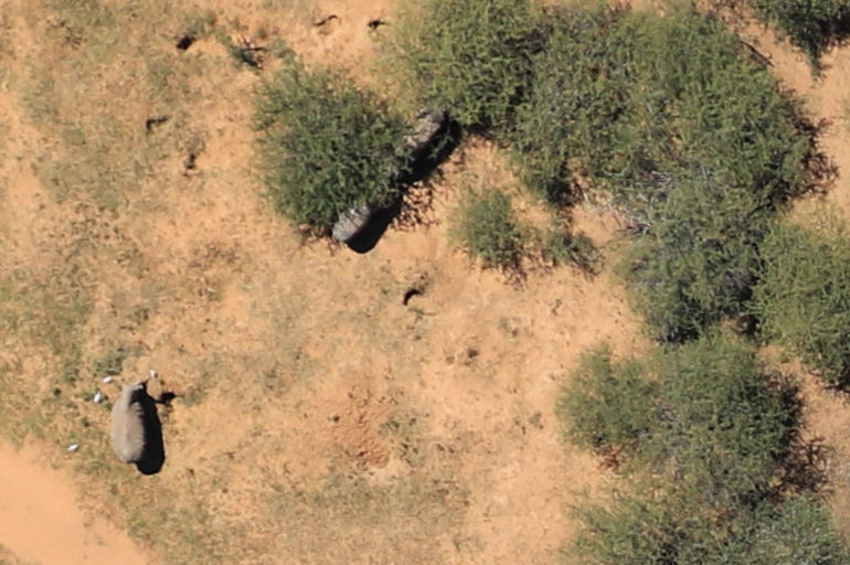
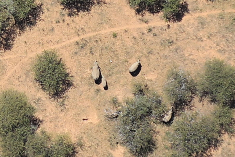
With our high resolution aerial survey system in our fixed wing aircraft we operate at a much higher altitude and the game is undisturbed and not stressed. The aerial images are “stitched” in an offline post flight process. These images are then analysed deriving the “count” and supplied as record. There are also many further benefits from this process and a complete 3D Digital Elevation Model DEM can be produced from the same data set of images. This has many benefits such as, selecting optimum water storage positions, measurement of fence or pipe distances and areas etc.
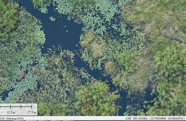
All our imagery is Geo Located with GPS data, anything detected in any of our images can be found or “navigated” to with the use of a GPS
