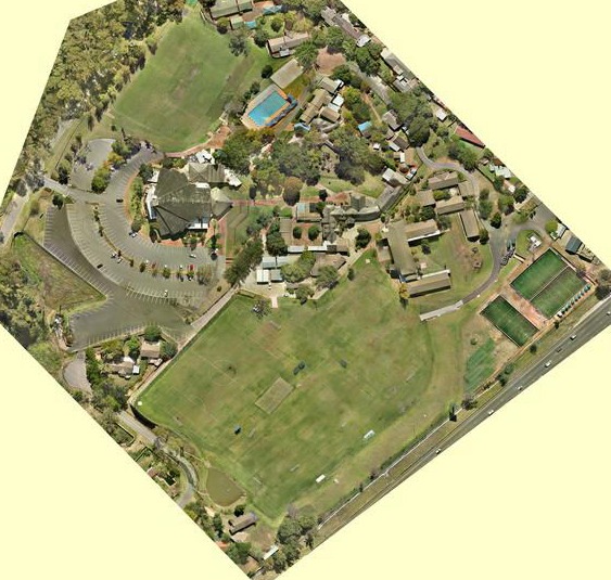
Multiple Images are captured at low level to obtain maximum resolution, the images are “stitched” together to create a Geo-Referenced Orthophoto of the entire area. Typical resolution is 4cm per pixel.
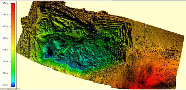
From the generated Orthophoto digital elevation data or a Digital terrain Model (DTM) is created and ready to be imported in to most commercially available Geographic Information Systems (GIS) for further use, creating contour lines, watershed prediction, measuring stock pile or extraction quantities.
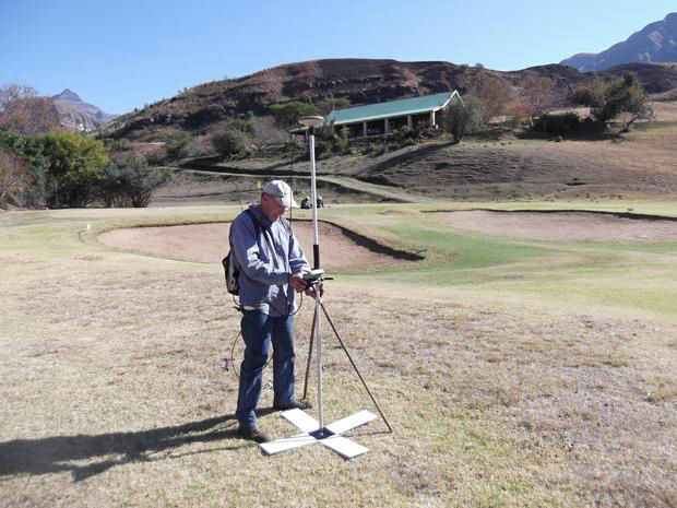
Airborne Technologies provides all data gathered during the flights for verification by the responsible land surveyors.
Barnard & Schneider Professional Land Surveyors.
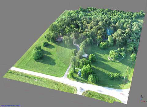
Aerial Survey Orthophoto with the use of ground control points.
Accuracy achieved is 4-6 cm in X&Y axis and 6-8cm in Z axis
For the past 10 years, Barnard & Schneider have worked with Airborne technologies on aerial surveys.
We have worked on proposed filling station & new township sites, sectional title schemes, large private school properties, existing malls, dams (which included bathmetric surveys) & large mining areas were undertaken.
BARNARD & SCHNEIDER is a long established firm (previously Schneider & Dreyer established 1970) which practices Land Surveying throughout Southern Africa & abroad. We have always had a sense of adventure & the firm has a history of tackling any type of survey required.
Land Surveyors Peter Barnard, Richard Thomas & Piet Rheeder have vast experience in specialised high precision surveys, cadastral & large scale engineering projects including thousands of kilometres of power line surveys. Yearly high precision dam monitoring surveys are carried out on huge earth wall dams (2mm horizontal & 0.5mm vertical accuracy).
Best AI Website Maker