Airborne Technologies offer solutions to all your Photomapping and Aerial Surveying needs.

Airborne Technologies offer solutions to all your Photomapping and Aerial Surveying needs.
Airborne Technologies is the South African agent for Agisoft Metashape Software.
Agisoft Metashape is a stand-alone software product that performs photogrammetric processing of digital images and generates 3D spatial data to be used in GIS applications, cultural heritage documentation, and visual effects production as well as for indirect measurements of objects of various scales.


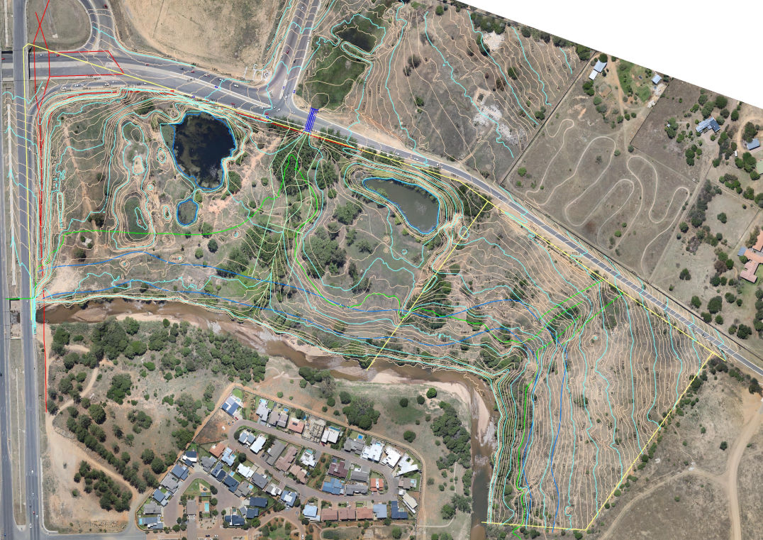
Airborne Technologies has partnered with Barnard & Schneider Surveyors to offer high standard accurate Topographical Surveys.
Airborne Technologies developed a method for accurate game counting by using High Definition Photogrammetry to
conduct very accurate Game Counting
Free AI Website Builder